
Lower Yellow River Flood Control Project
Lower Yellow River Flood Control Project
Lower Yellow River Flood Control Project
Lower Yellow River Flood Control Project
Lower Yellow River Flood Control Project
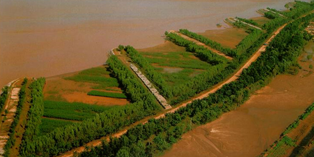
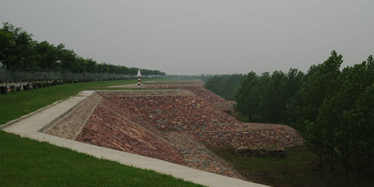
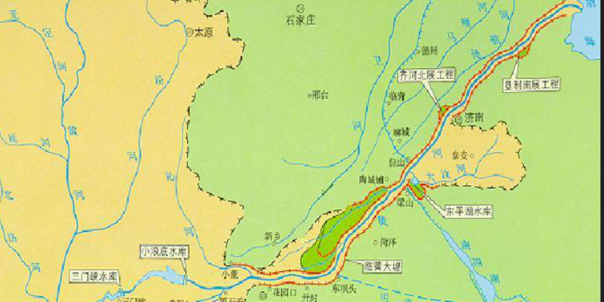
Lower Yellow River Flood Control Project ranges from Baihe in Mengjin County of Henan Province to the estuary in Kenli County of Shandong Province, with a total length of 878 km. The project aims to provide protection against floods of 22,000 m3/s at Huayuankou, which was approved by the State Council. At present, 1,371 km standardized embankments, 233 training works for around 502 km, 147 protection works at vulnerable spots, and 5,413 spur dikes are completed. Meanwhile, non-structural measures are established including those for hydrological measurement and forecast, flood dispatching, communications and flood fighting, and flood control policies and regulations.
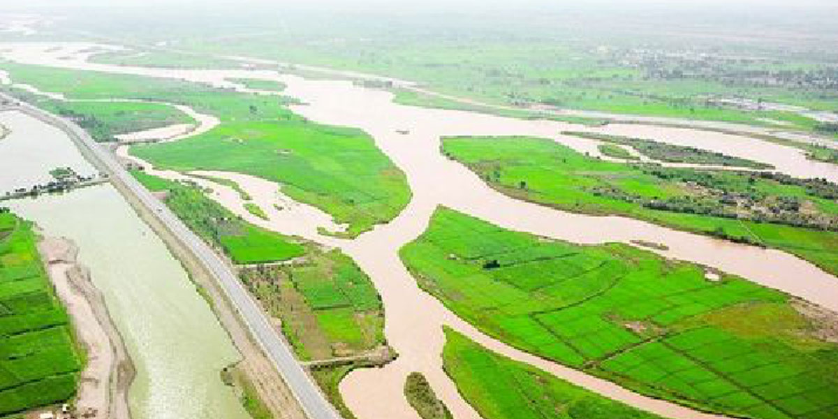
After years of large-scale construction, the overall situation of the lower Yellow River flood control has been effectively modified, the flood control capability greatly improved, which will guarantee the sustainable development of economy and society, and ecological security of Huang-Huai-Hai Plains.