

GNSS Instrument Height Measuring for the Yellow River
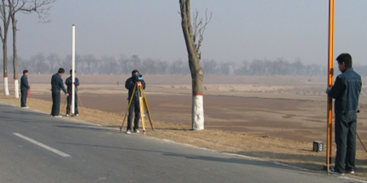
Second Order Leveling for the Lower Yellow River in 2002
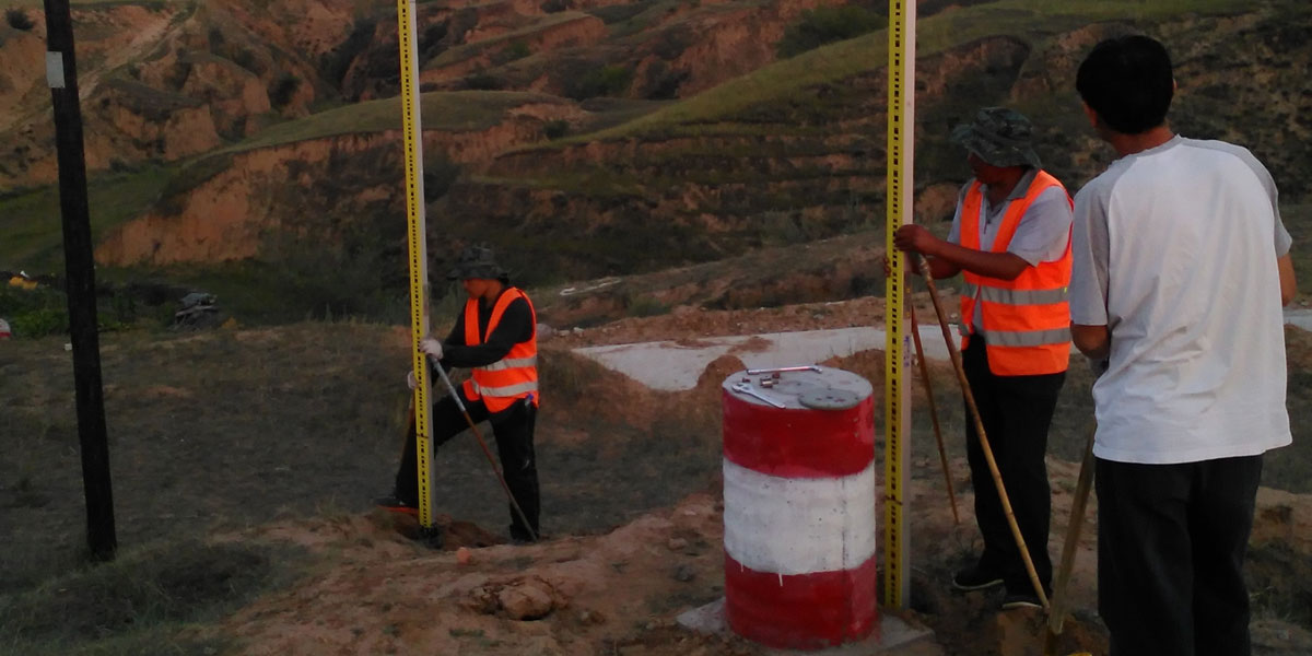
Joint Surveying for Base Points of Yellow River Unified Elevation System in 2015
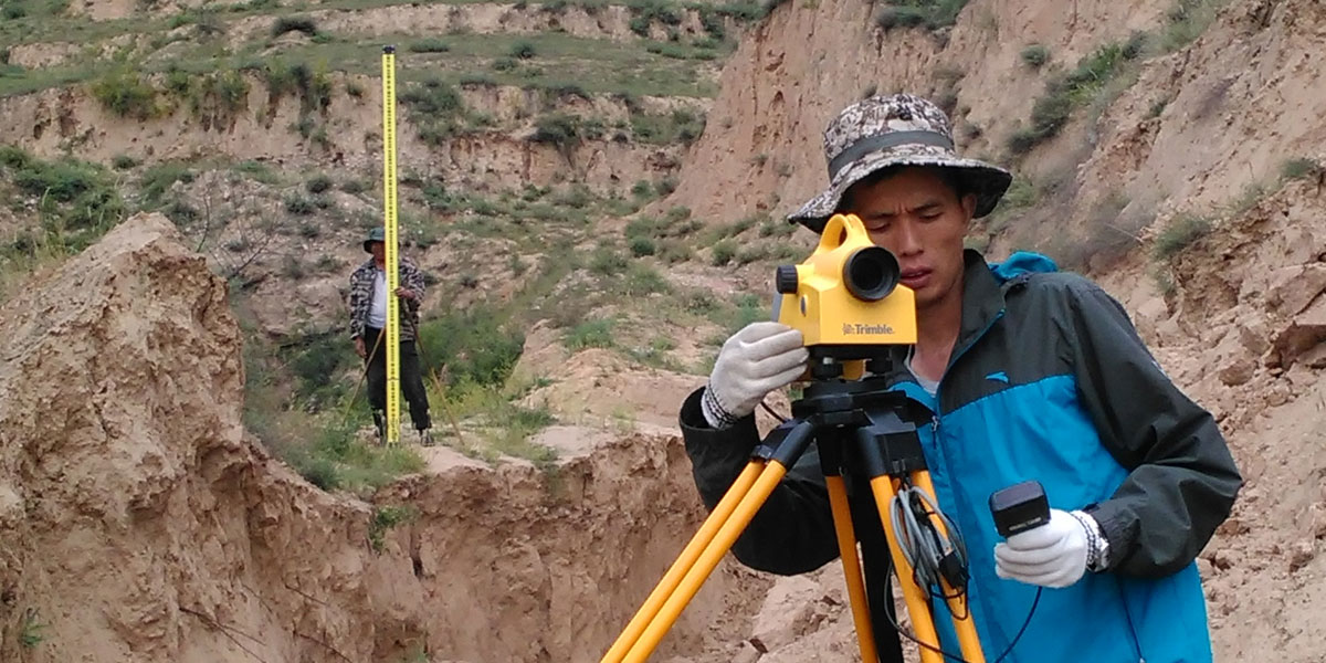
Joint Leveling for GNSS Control Points of the Yellow River
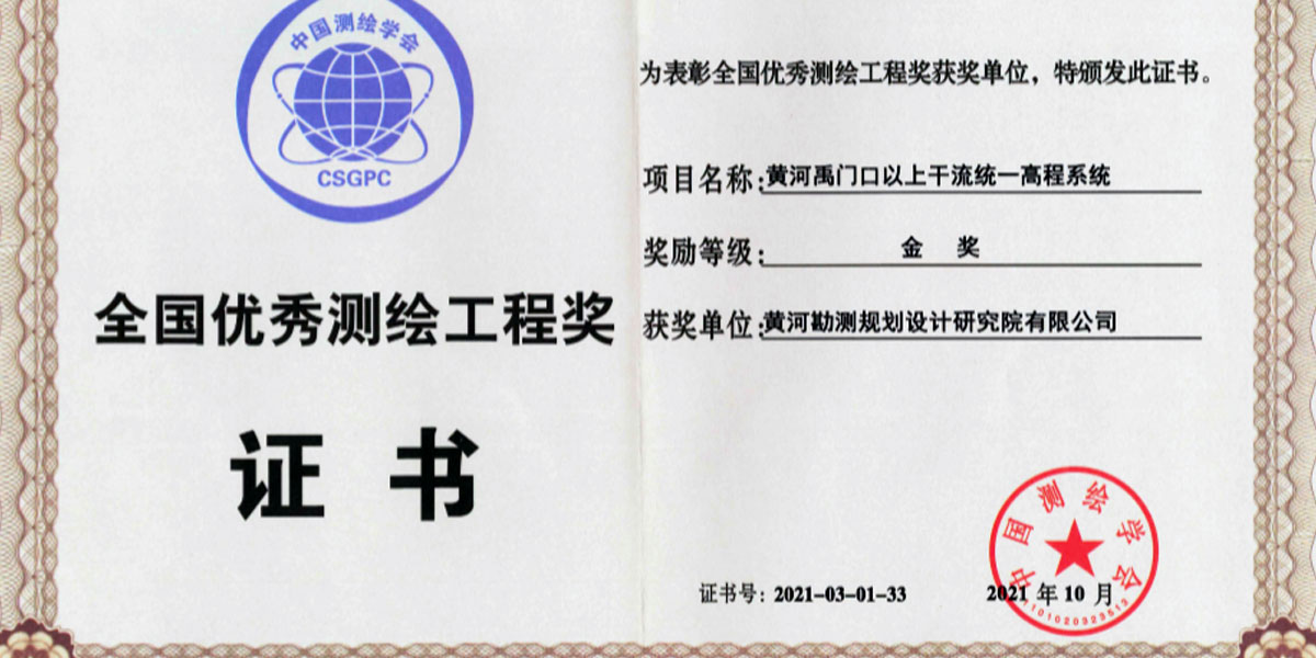
Gold Prize for National Excellent Surveying and Mapping Project
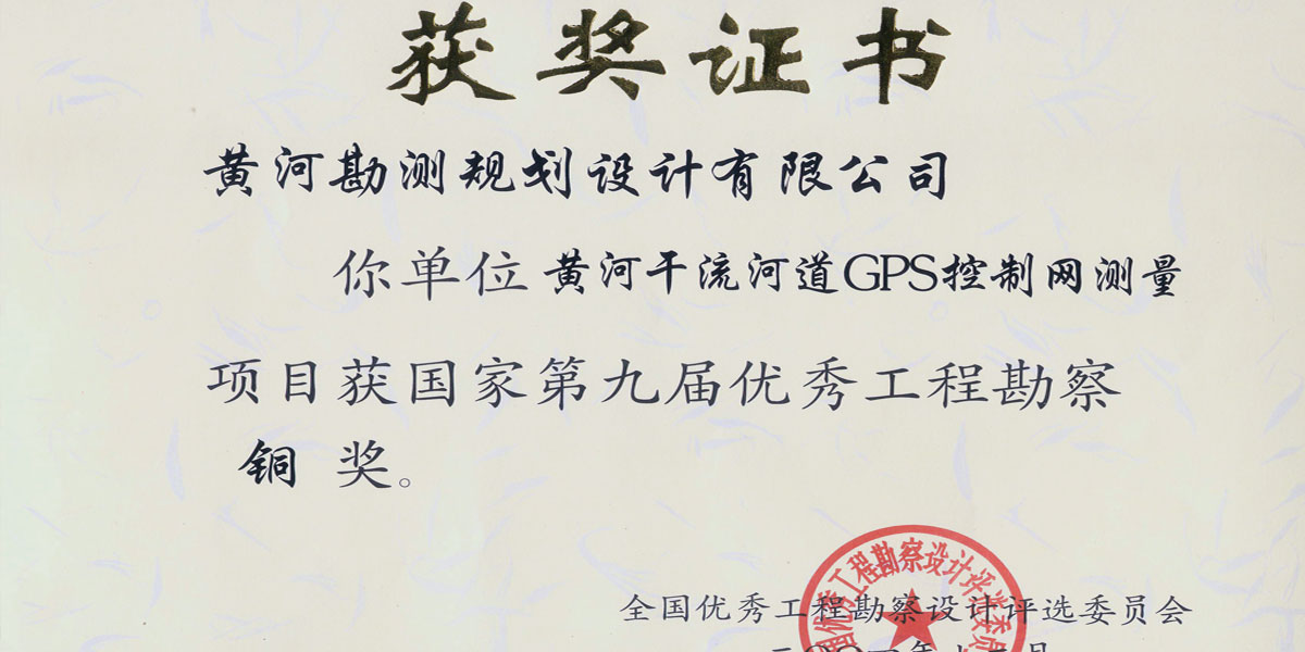
Bronze Prize for National Excellent Engineering Investigation
Construction of Horizontal and Vertical Datums for the Yellow River Basin
The horizontal and vertical datums of the Yellow River Basin, including the horizontal datum network and the vertical datum network, are the basis for the unified planning and management of the river basin.
Construction of the horizontal datum network. From 1951 to 1964, the astronomical surveying and triangulation method were used. From 1998 to 2020, modern GNSS technology was applied for surveying of the GNSS control network of B and C levels, and the surveying work was conducted in the main stem sections from Liujiaxia to the river estuary for a total of 3,250 km long, and in other key tributary areas, laying a foundation for the river basin planning and flood control.
Construction of the vertical datum network. From 2001 to 2015, the vertical datum network was constructed by sections from the river source to the estuary and for other key tributary areas of the river basin. During the construction, leveling of Grade II and Grade III was mainly applied to establish the vertical control network, and perform the joint surveying for base points of important water resources facilities, the National Vertical Datum 1985 was adopted for conversion between different height systems, and an elevation information system of the main stem Yellow River was established.