
Western Route South-to-North Water Diversion Project
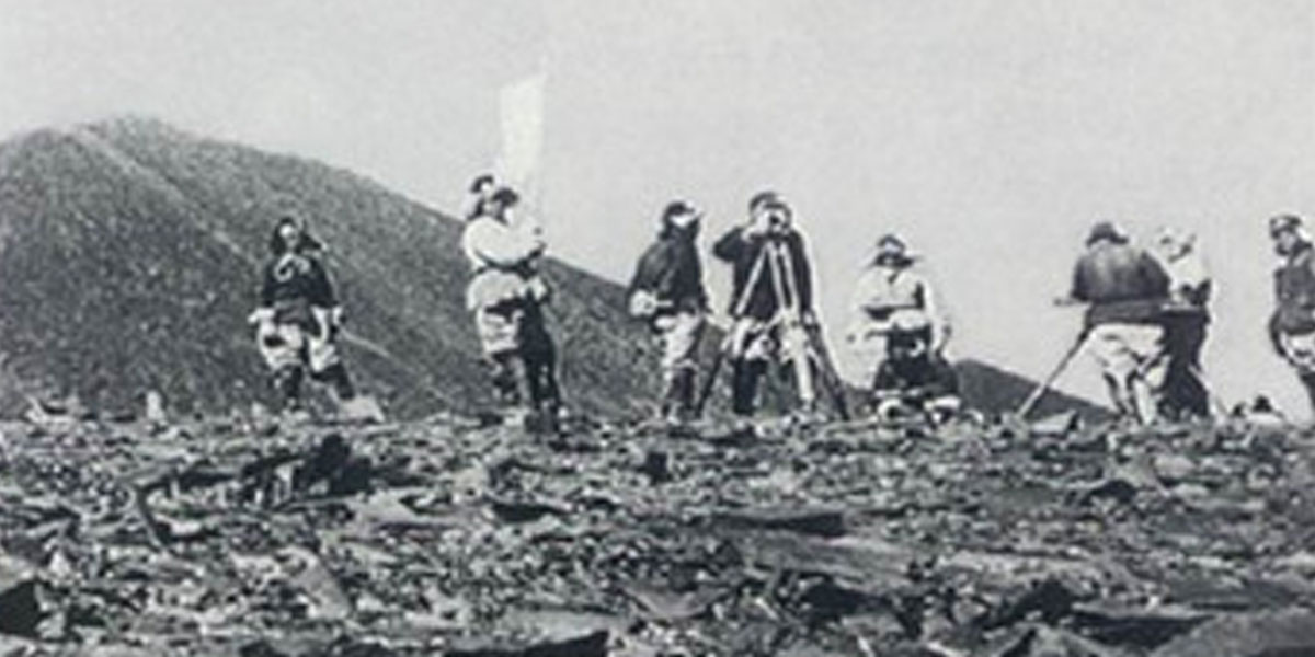
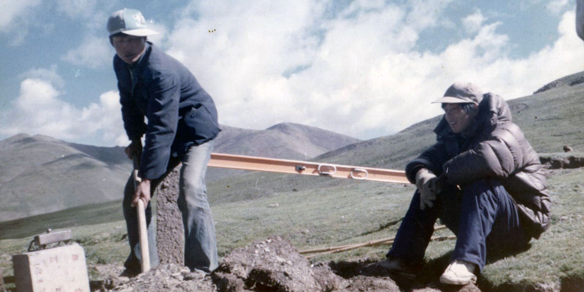
1978 - Dam Site Surveying at Xiema Chuanri'e, Tongtianhe River
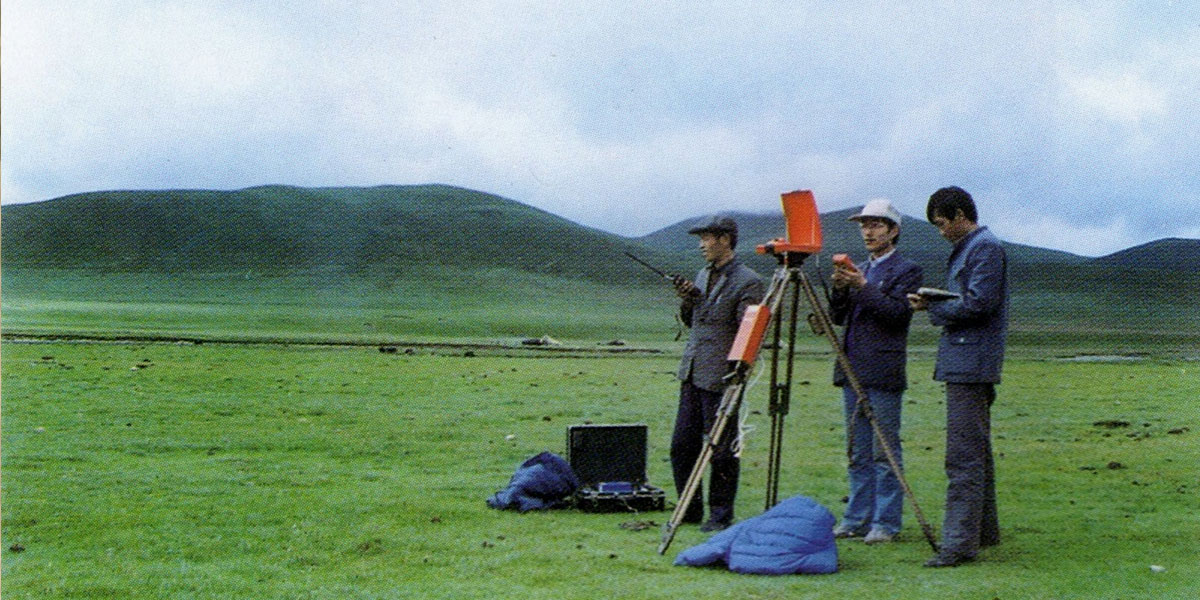
1989 - Microwave Wire Surveying
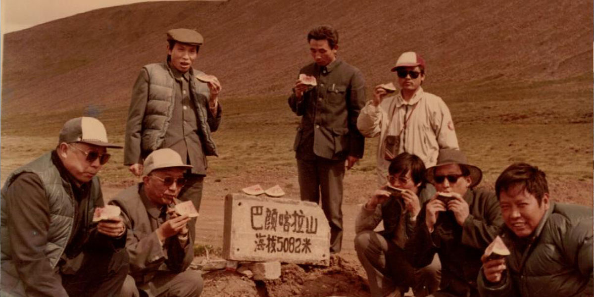
1990 – On the Way of Surveying at EL. 5082 m in Western Route of SNWDP
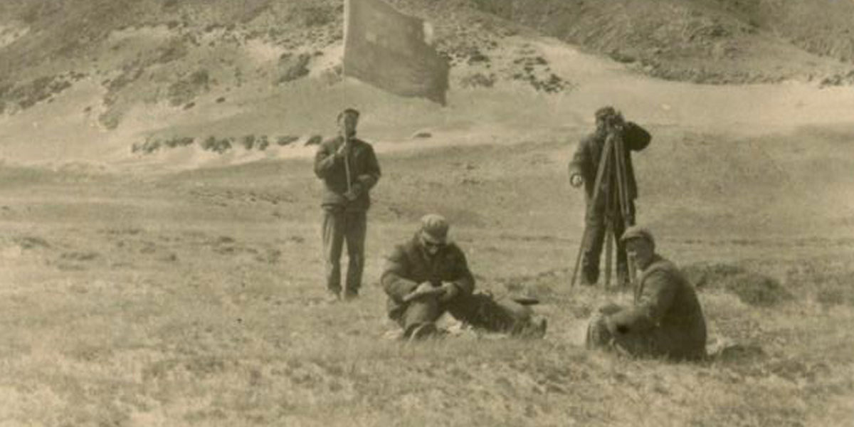
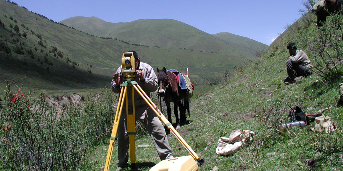
1990 – Starting of Surveying at Western Route of SNWDP

2001 – Transferring to Another Surveying Site in Western Route of SNWDP
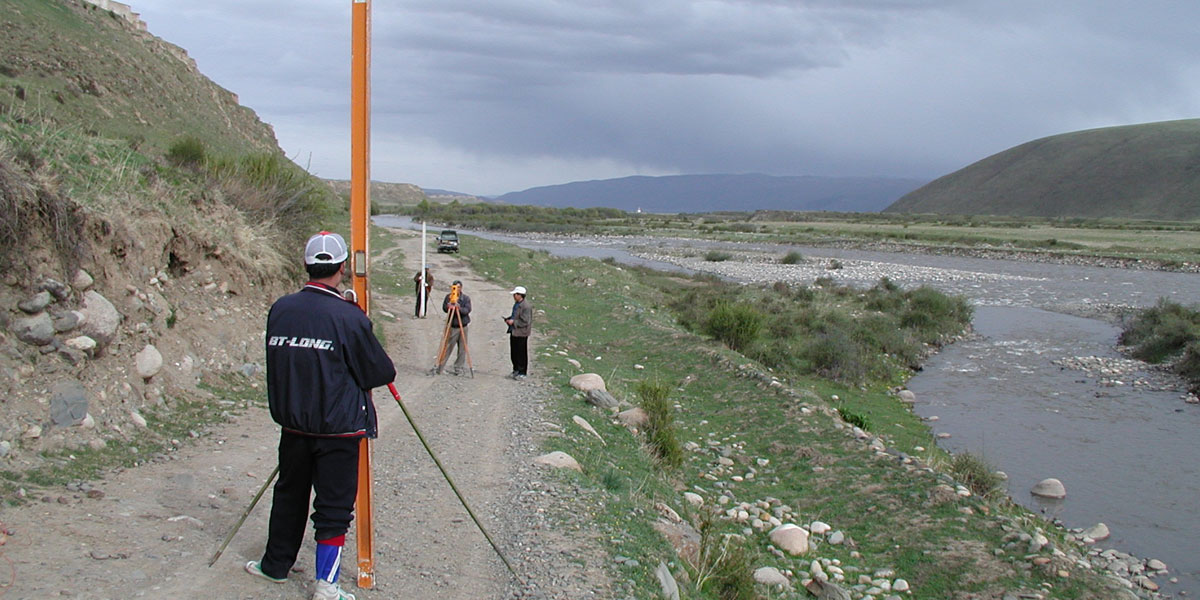
2001 – Surveying in Western Route of SNWDP
2001 – Leveling at Western Route of SNWDP

2019 – Dam Site Surveying in Western Route of SNWDP
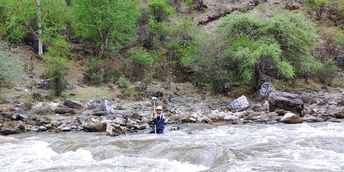
2019 – River Cross Section Surveying in Western Route of SNWDP
Western Route South-to-North Water Diversion Project
The Project proposes to transfer water from the Yangtze River Basin to the Yellow River Basin with routes in the plateau area, which is of strategic significance to address the water shortage problem in northern China.
Corresponding investigation work has been carried out successively since 1952. Especially since 1987, topographic maps of water diversion areas, water diversion lines, dam sites and reservoir areas in the stages of preliminary planning and project proposal have been completed. Our work has provided accurate and reliable topographic map data for project planning and design. A basic information database of the Project has been established, which improves the storage, processing and management of basic data, and brings great convenience to data acquisition, use, integration and sharing.