

Yellow River Spatial-Temporal Information Service Platform
Yellow River Spatial-Temporal Information Service Platform
Yellow River Spatial-Temporal Information Service Platform
Yellow River Spatial-Temporal Information Service Platform
Yellow River Spatial-Temporal Information Service Platform
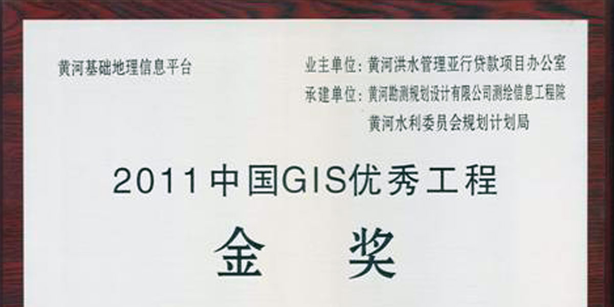
Gold Award for Excellent GIS Engineering
Yellow River Spatial-Temporal Information Service Platform
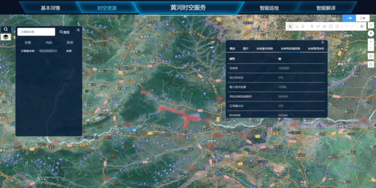
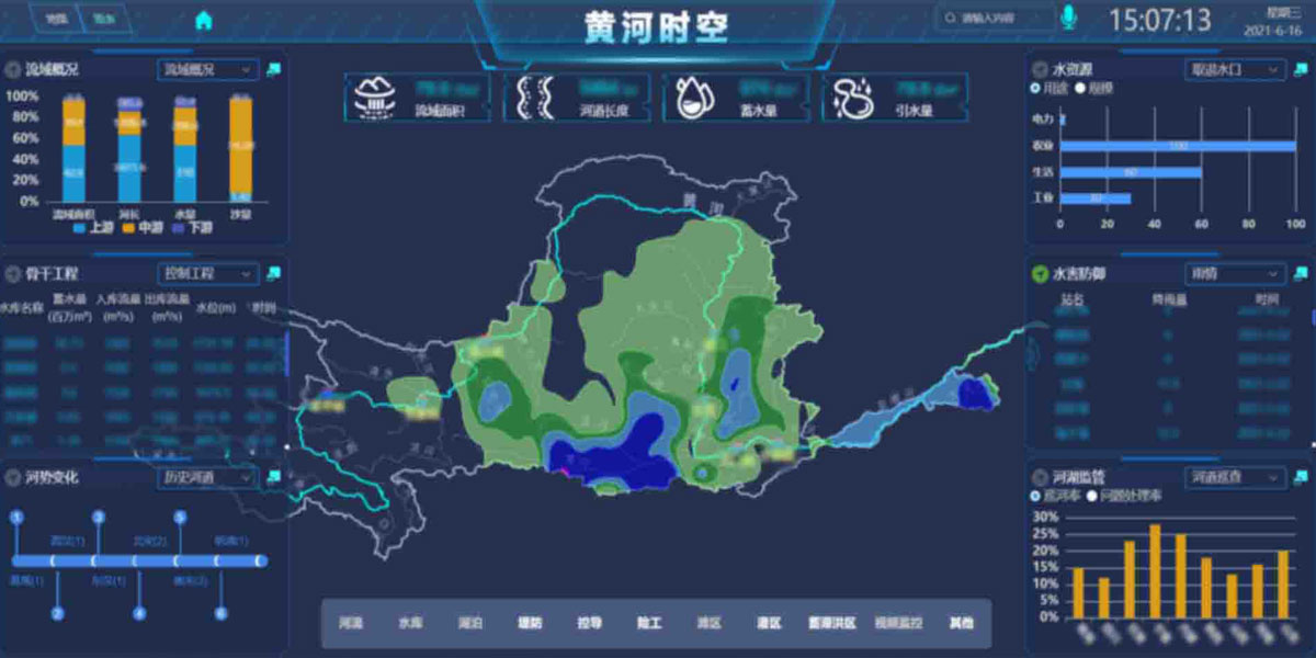
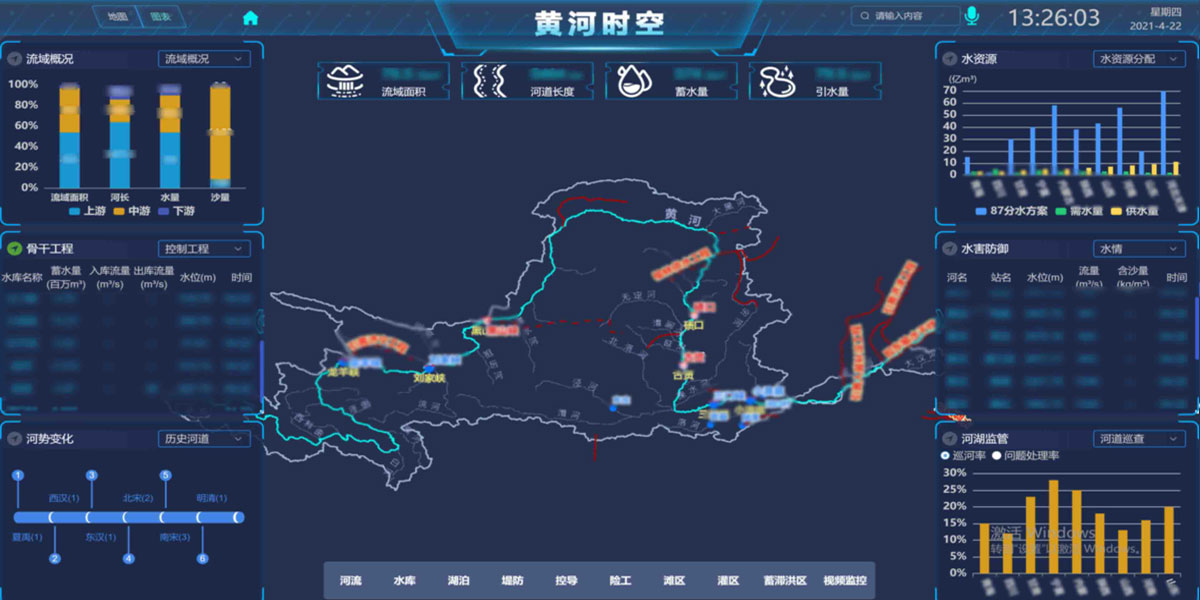
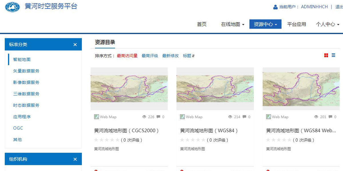
According to the requirement of building a “Digital Yellow River” proposed in 2001, multi-scale and multi-temporal vectors, images, terrains, models and other two-dimensional and three-dimensional data resources of the Yellow River Basin have been integrated and displayed in One Map. With the development of modern surveying & mapping and information technologies, the One-Map program has been updated and improved continuously in view of integration technology and service mode, and has been developed into a platform with the water resources-oriented entity model and the geographic knowledge graph. The platform supports voice intelligent retrieval, and provides GIS-based similarity analysis of rainstorms, floods and sediments as well as intelligent identification and analysis based on remote sensing images. Such an information service platform is a convenient, applicable and stable basic carrier and data provider for improving the efficiency of the river basin management and administration. The platform has won the Gold Award of China GIS Excellent Project, the second prize of National Surveying and Mapping Science and Technology Progress and the third prize of China Geographic Information Technology Progress.